Drone-Based Remote Sensing Systems

cutting-edge sensors, cameras, and drones for academic research


Complete Drone Solutions

Multispectral Systems helps researchers find the right drone, sensor and software for their work.
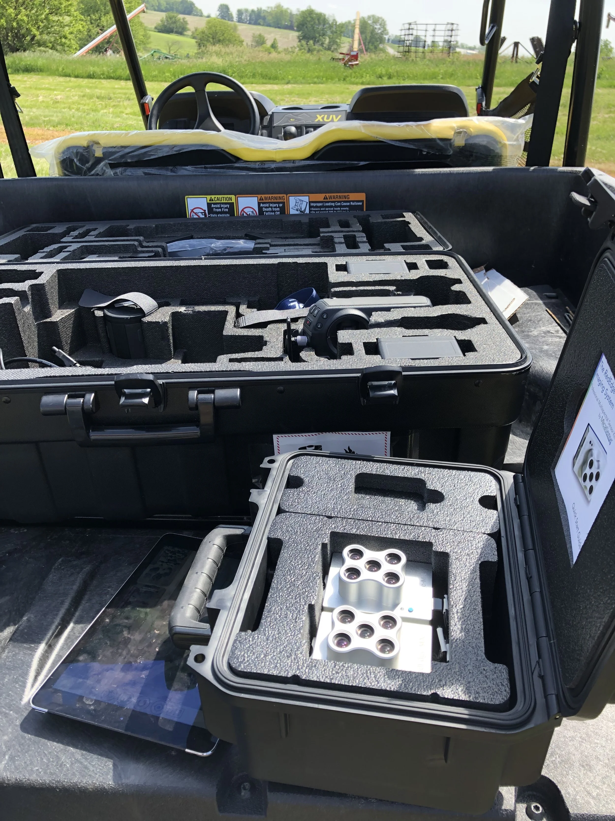
Open black case with foam compartments holding camera lenses and accessories. In the background, a utility vehicle with dashboard and steering wheel, outdoor grassy landscape.
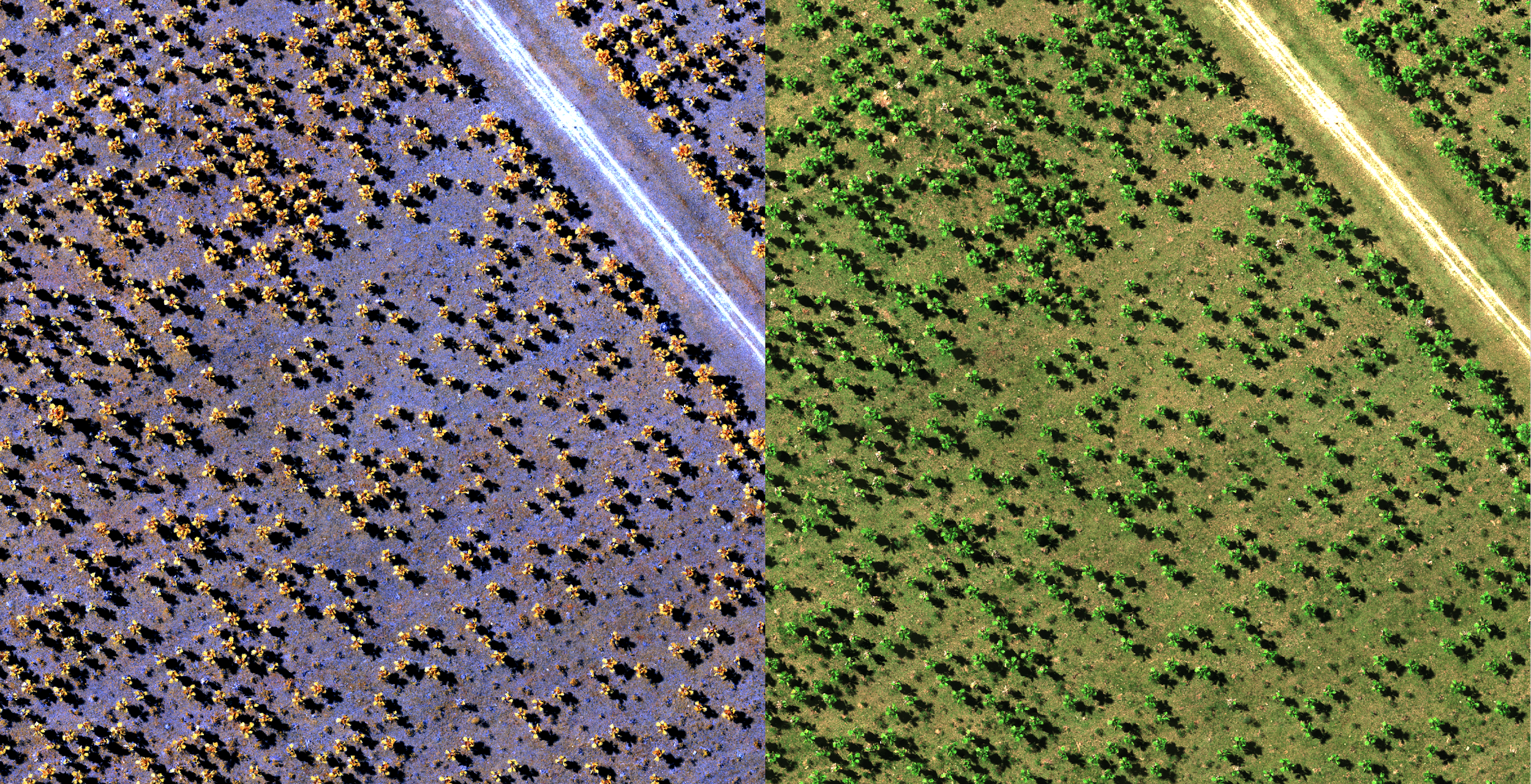
An aerial view of a farm divided into two sections by a dirt road. The left section has rows of plants with yellow flowers, possibly sunflowers, under a purplish sky. The right section has rows of green plants, possibly crops or trees, with a green, grassy landscape.

One-stop shop for research-grade drone technology and support

We build effective remote sensing solutions by first consulting with you to determine the exact data required—be it multispectral, hyperspectral, thermal, or RGB—which guides the choice of sensor. We then pair that sensor with the ideal drone based on your coverage area and budget, offering options from multirotors to fixed-wing aircraft. Finally, we ensure your success by providing ongoing support, software guidance, and training for all your image processing and field operations.
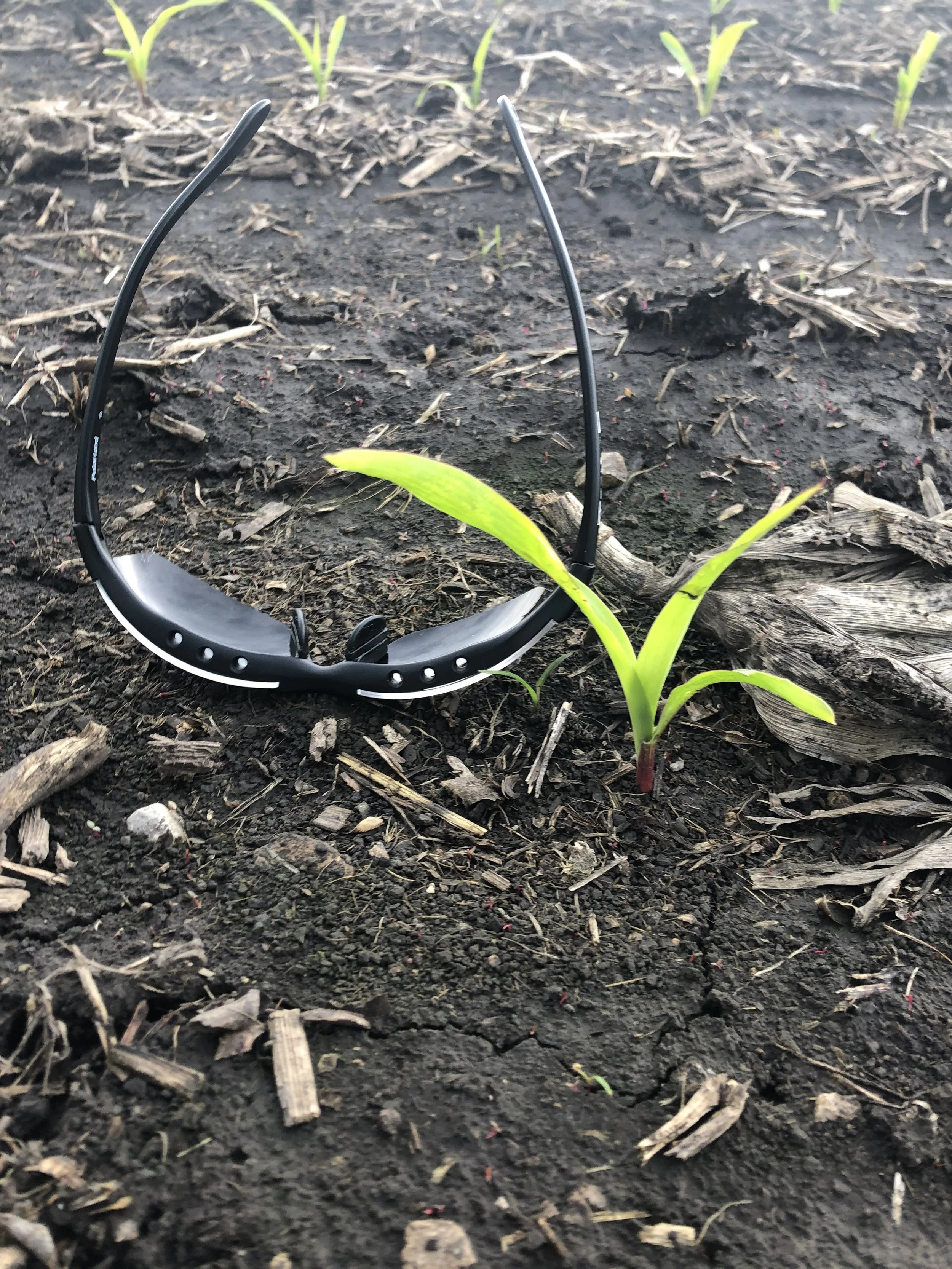
A pair of black sunglasses lying on dark soil, with small green plants sprouting from the ground in the background.
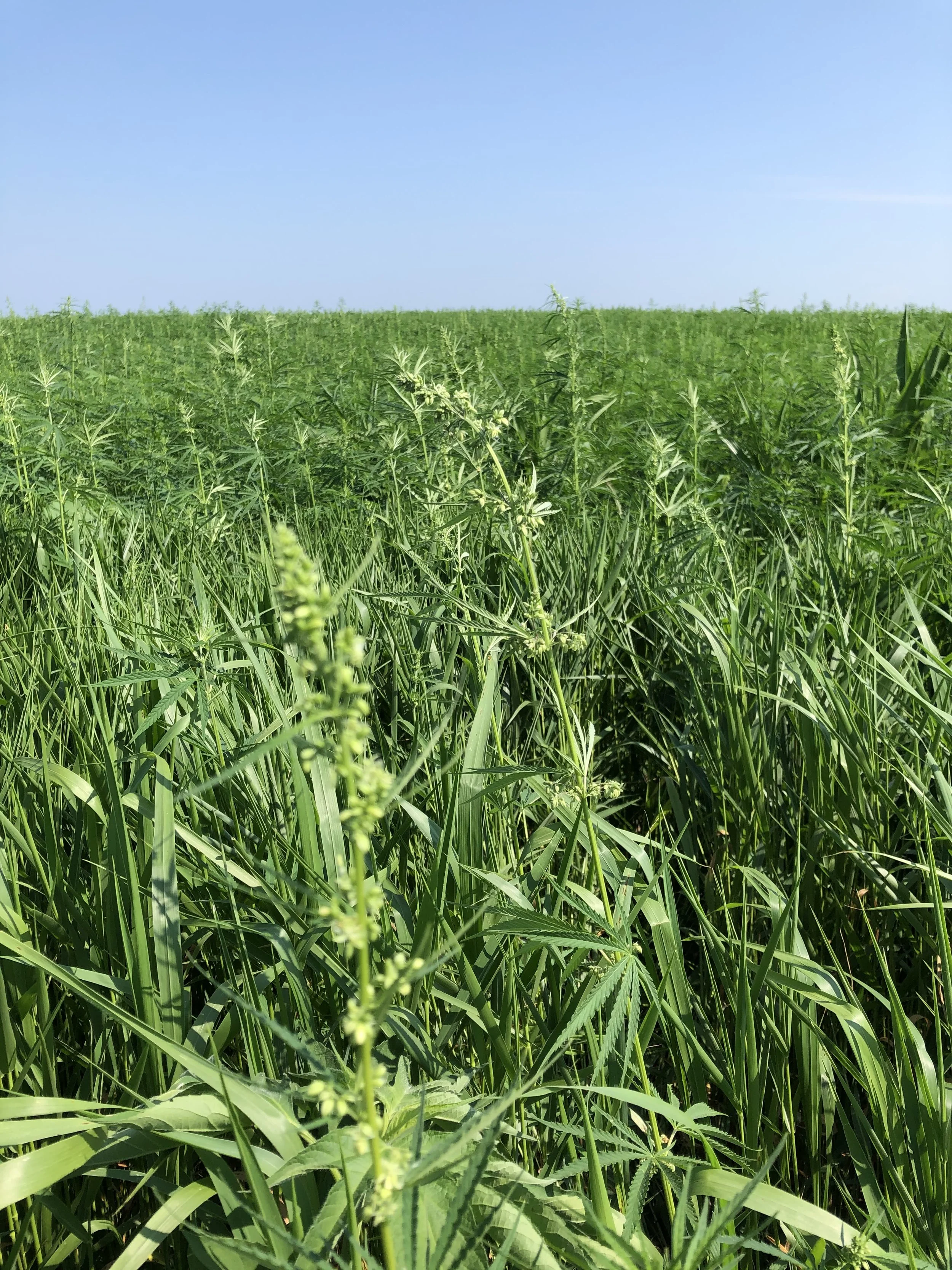
A field of tall green plants, possibly corn or maize, with a clear blue sky overhead.
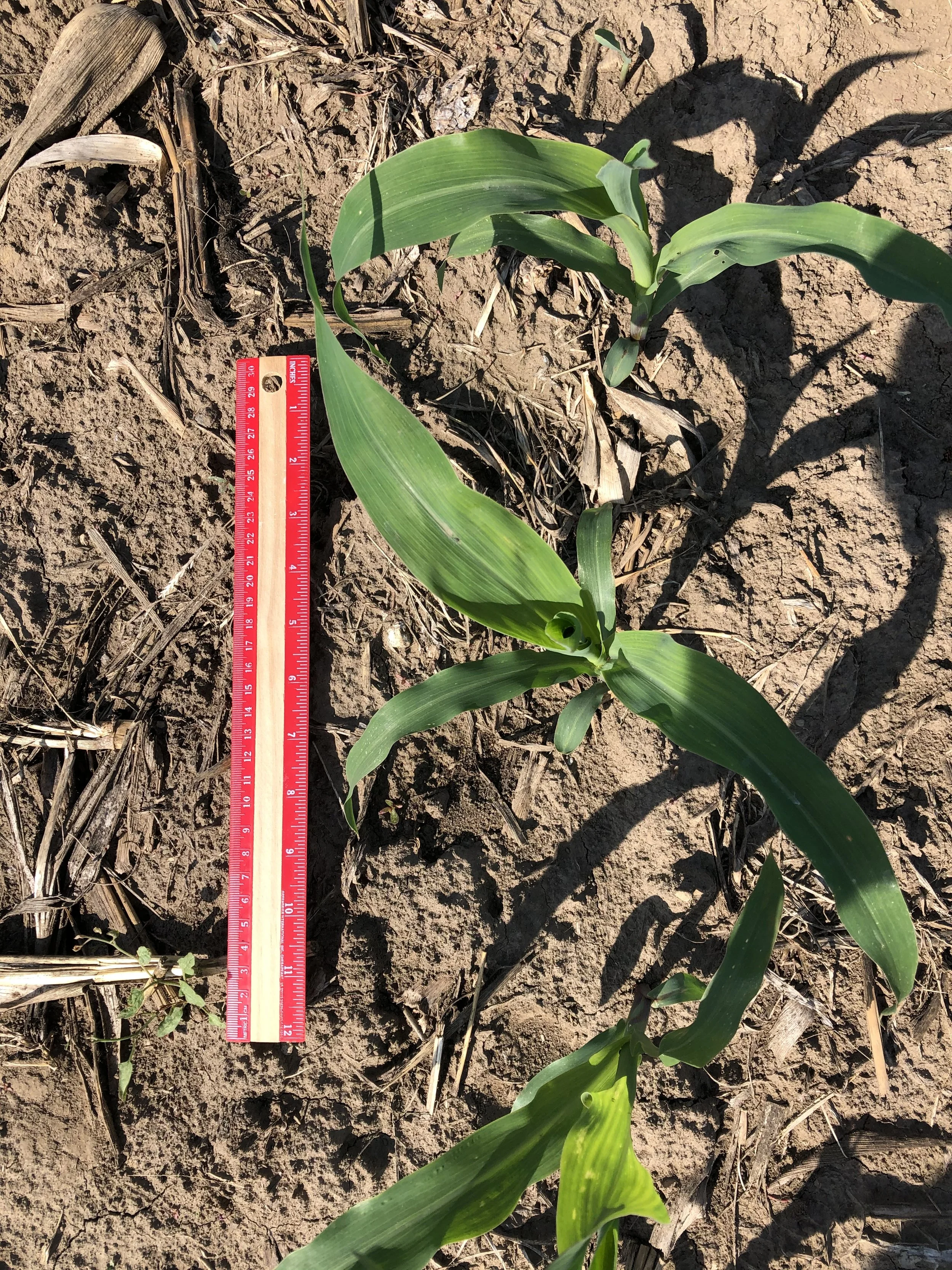
Young corn plant with several green leaves growing in dry soil next to a red ruler for scale.
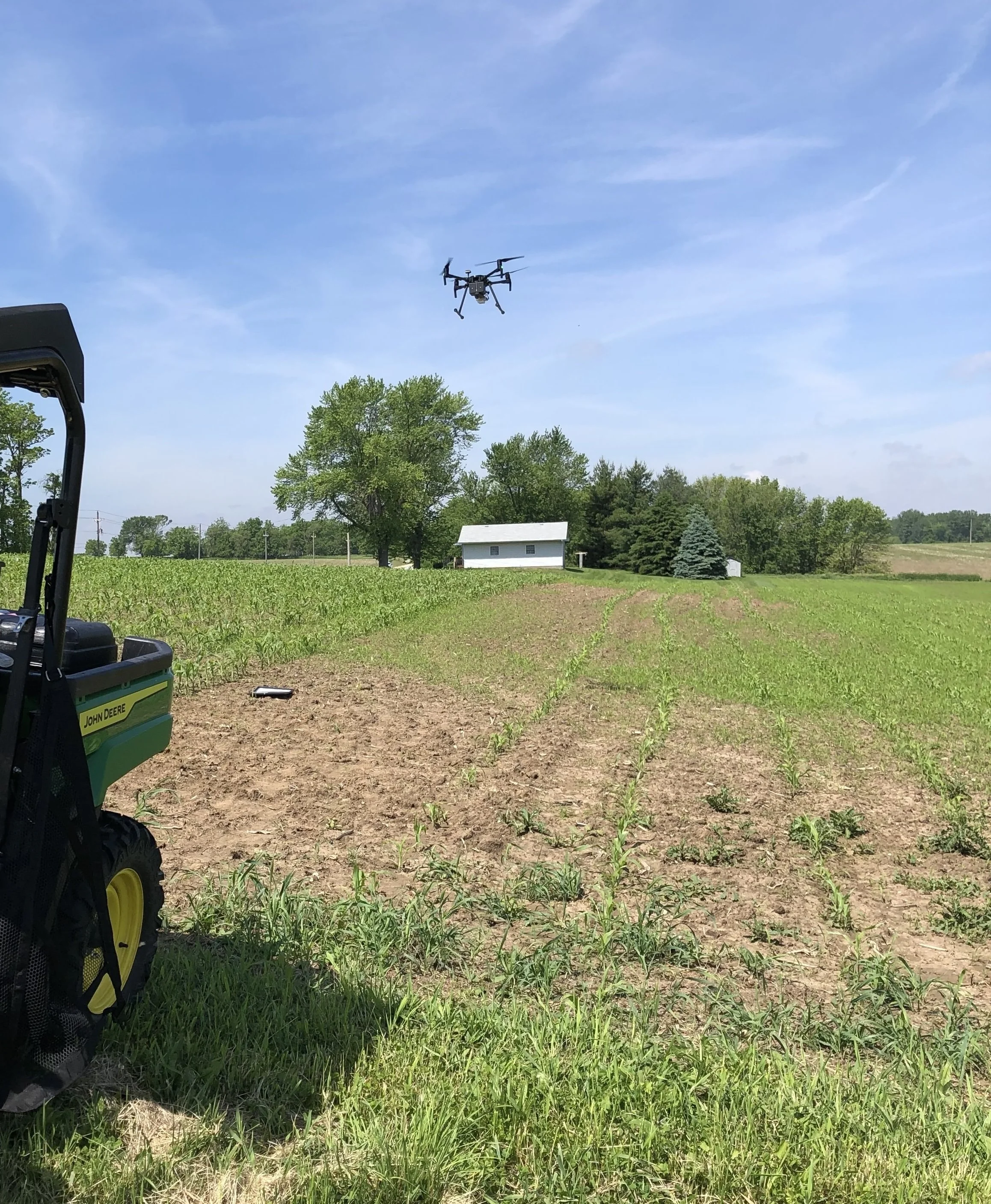
A drone flying in the sky above a green field with trees, a small white building, and cloudy blue sky in the background.